This is an article written by Jan and published in the Bengal Times, sent by James Kavanagh of RICS.
Jan Karalus
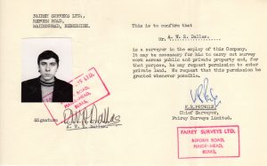
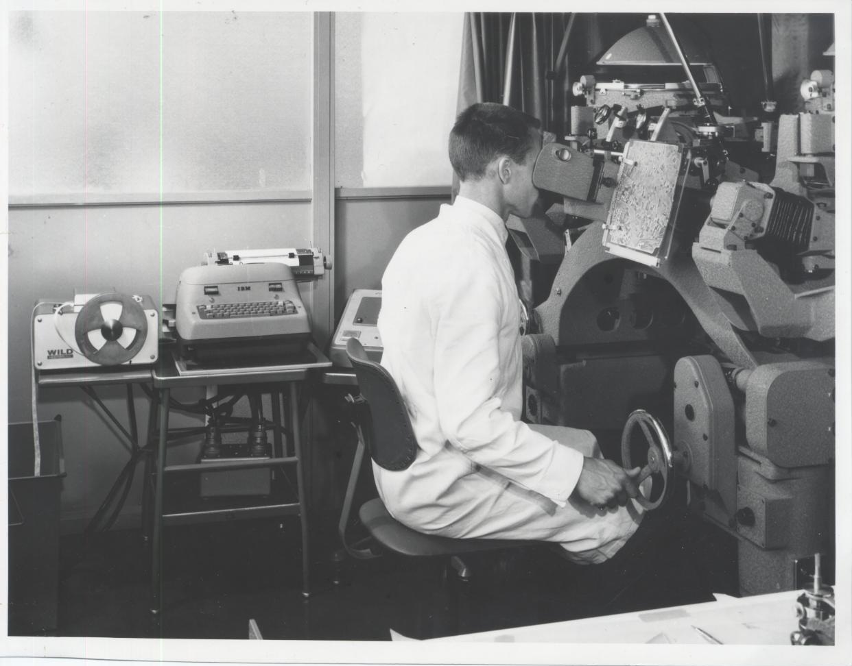
In September 1962 as a newly qualified surveyor, Fairey Air Surveys assigned me to their ground control party in East Pakistan at the start of their second survey season. The task may have been a standard one for the company, which had been founded in Bengal some forty years previously, but to a twenty-three year old who had never before travelled outside Europe the adventure was total.
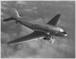
After more than twenty four hours of travel from London, the Lockheed Constellation landed in Dacca in a late monsoon downpour through which we struggled in an ancient taxi to the Shahbagh Hotel, the best in town, and I subsided gratefully onto the mosquito netted bed, underneath the ceiling fan, to recover from the journey. Even the large gecko which was observing me from the ceiling gradually failed to keep me awake.
That was a time when the survey season was a reality which could not be overcome by the technology of the day. Last year, whilst engaged in petroleum development and exploration in Bangladesh, seismic surveying continued throughout the year, albeit with reduced productivity in the monsoon, thanks to the availability of GPS and vessels of a type which just were not available then. In 1962 our first task was to visit the previous season’s base camp area to assess the flood condition and then to reestablish the camp.
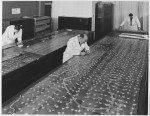
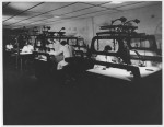
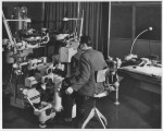
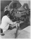
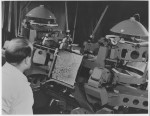
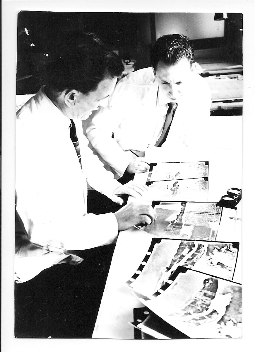
For the first six weeks as the countryside dried out I worked in base camp preparing aerial photography for our Bengali surveyors to control and learning the important art of serious camping. This had changed little if at all since the days of Empire. Various sizes of standard Indian Army pattern cotton tents, with or without fly-sheets were issued according rank and status: 12ft square with 3ft walls and 6ft ridge plus fly-sheet with bell-end for bathroom was top of the range for an expatriate surveyor. The number of labourers who crowded into a tent of that size was amazing and they did not have a fly-sheet. Power for lighting and cooking was provided by paraffin because it was available in local markets, and base camp even boasted a paraffin refrigerator.
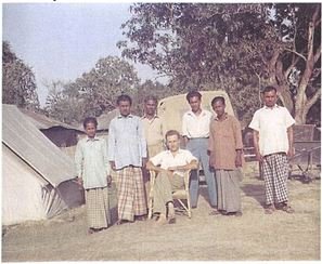
As soon as conditions permitted I was put to the real test of professional competence: to set up my own camp on the other side of the Jamuna River (some 13 miles wide) and observe a line of geodetic levelling along the Tangail Mymensingh road. I was on my own and wondered whether I had bitten off more than I could chew. Suffice to say that with the determination of despair and the help of my loyal Bengali staff, most of whom had already spent the previous season with Fairey and knew the form, everything went perfectly. Even the levelling closed. Moreover, I learned not to camp in the romantic shady gardens of a mined Zamindar’s Palace ever again. It wasn’t so much the shadowy serpents that glided through the camp in the evening that gave cause for concern they were only after the frogs who were after the jute moths who were attracted by our Tilley Lamps but the sloughed cobra skins which I would find in my tent most mornings, where their former owners had sought escape from the cold night air. My nightmare was that I might be called upon to administer the intravenous snake bite serum which the four expatriates each carried to administer to any one of our 500 local staff in case of need. Fortunately for our staff, the need did not arise in my camp.
Having proved my mettle, the party chief then gave me the prize ground control of Belkuchi district. Although Bengal is one of the most densely populated areas in the world, communications have always been difficult because of the mighty rivers which crisscross and shift and flood and flow seasonally in different directions with a force which can destroy whole towns and transport infrastructure. In 1962/63 the Belkuchi survey area was isolated even by Bengali standards. It was surrounded by major rivers on three sides and there were no motor roads or motor transport in the whole district.
A bullock wagon trail ran from the railhead at Sirajgang, southwards for about 30km through Belkuchi town to a ghat on the Baral River where country boat ferries plied the 1 mile crossing to Pabna District and the nearest motor road. The east-west extent was about 20 km. I camped at a village called Samaspur because it lay midway along the north-south artery and because it boasted a magnificent banyan tree in whose cool shade a small market was held twice a week and which also accommodated a chaikhana open all hours to travellers and campers and serving lovely hot sweet tea (bay leaf optional).
For five months I controlled the operations of 5 photo levelling teams and 6 photo interpretation teams. With two Land Rovers and trailers I would move the teams’ camps, prepare their work assignments and check the results. Sundays were special. I would take the week’s survey results and empty petrol drums to the Southern Ghat, 15km and four hours away. After checking that the party chief was on the other side (and vice versa) I would hand the survey package and empty drums to a boatman and the party chief would despatch a boat with full drums of petrol and any other supplies previously requested. These Sunday sightings across the river were the closest contact that I had with the outside world. Then it was four hours of dusty and difficult driving back to camp, a hot bath in the tin tub and a cordon bleu dinner cooked by Anthony on his two ring burner complete with a paraffin can converted into an oven. The dinner table outside the tent entrance was formally laid with starched table cloth, silver and napkin and any British passerby might have mistaken the scene for a Camp Coffee label.
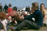
As most of the local staff were muslim, Friday was observed as the weekly day of rest and any who were in Samaspur on that day would join the Land Rover trip to Sirajganj. While they went to market I would visit the barber and, in the afternoon, we reserved the back row of the local cinema for the matinee performance. This small treat, which cost only 3 rupees for the whole row, created good will and loyalty out of all proportion to its cost. The films were terrible.
It may be that the first expedition, like a first love, is the most memorable. Certainly Bengal made an enormous and lasting impression on my life. The population pressure, poverty, disease, natural disasters, dust and, in my case, cultural isolation, were never to be equalled again. And yet the prevailing memories are of the beauty and fertility of the countryside, and the hospitality, friendship and, above all, the resilience of the people. I returned to Belkuchi in 1975 and the isolation of the area was again emphasised by the fact that it harboured the last pocket of smallpox in the world. In June 1998, the Prime Minister of Bangladesh opened the Jamuna Multipurpose Bridge. Its western landfall is by Samaspur which will now become the Clapham Junction of Bangladesh.